Overview
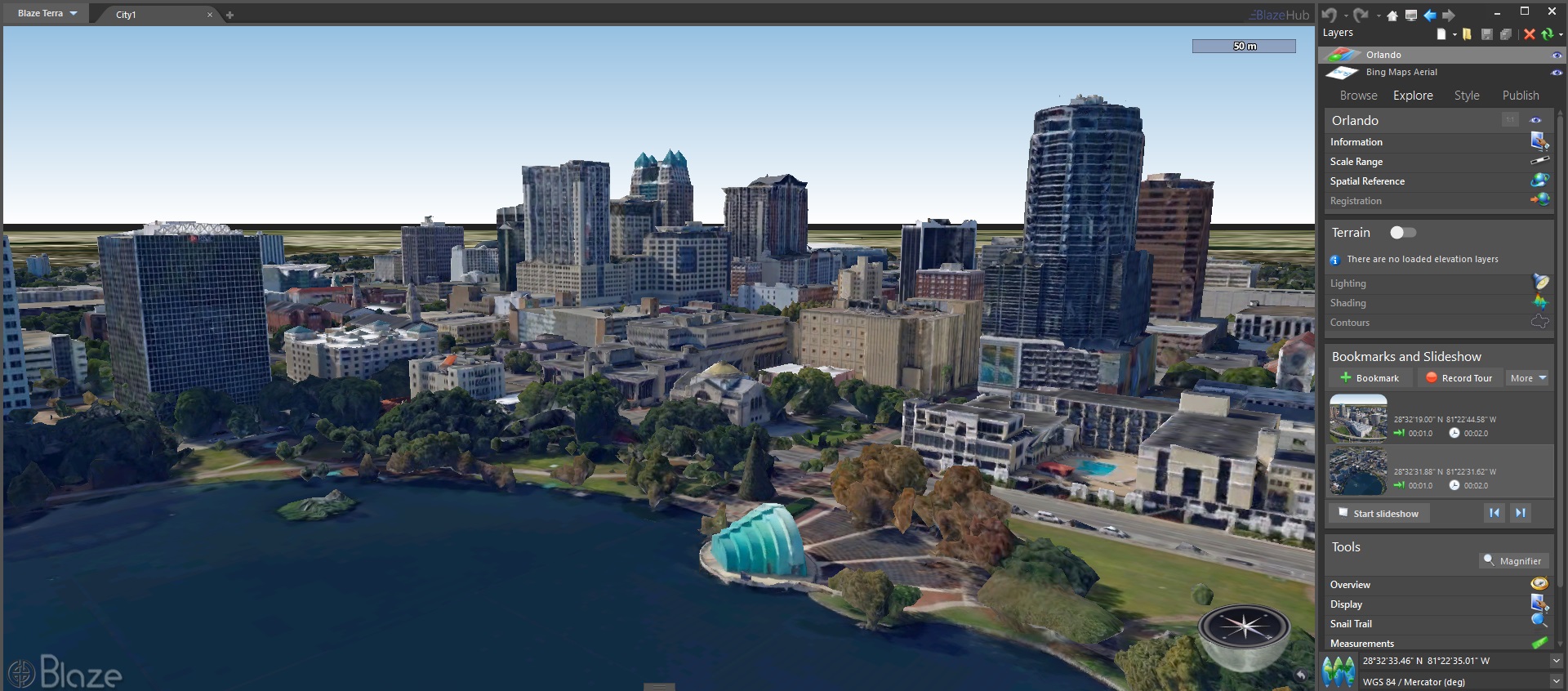
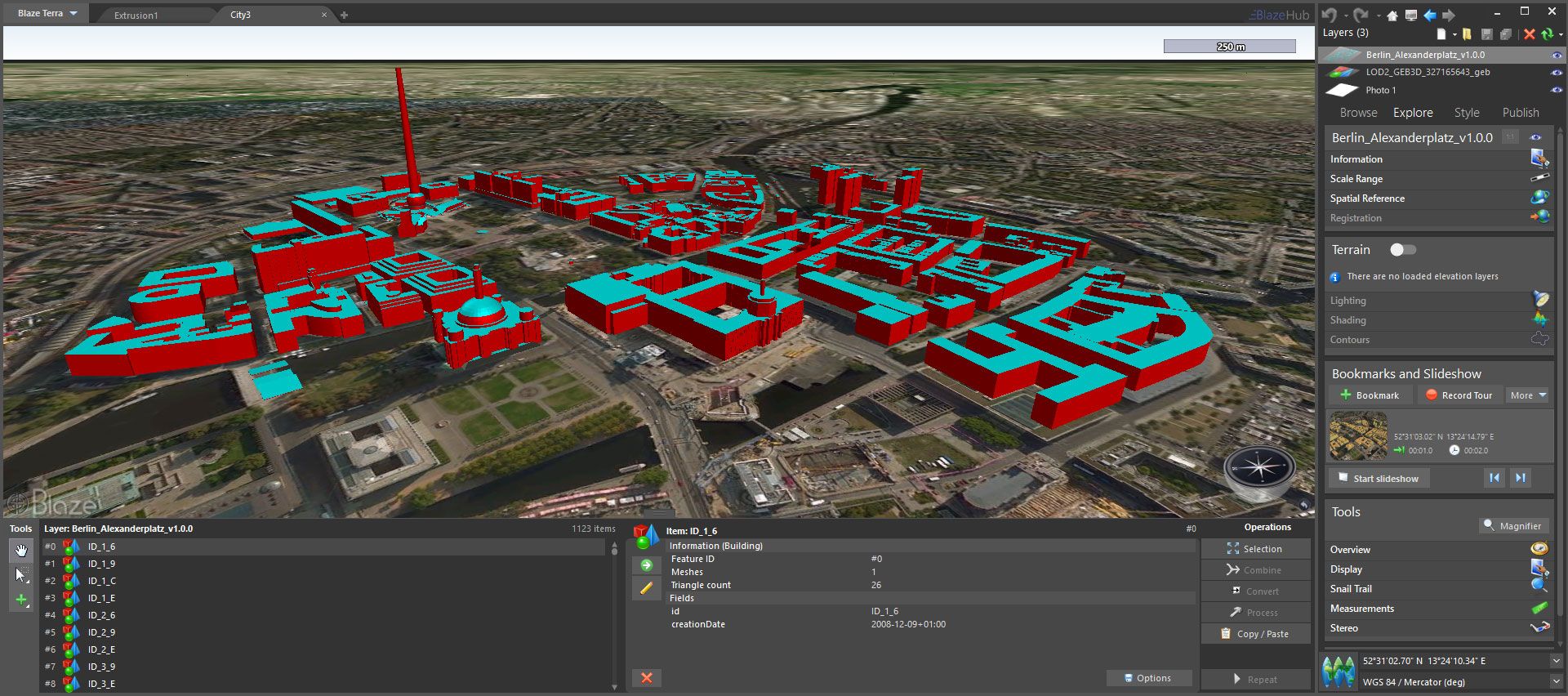
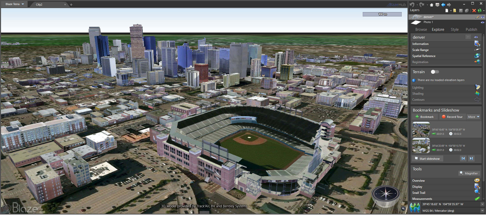
The City Extension allows users to open and display heavy datasets of textured 3D models in their geographical context without preprocessing. The City Extension breaks down the conventional boundaries between 3D modeling and georeferencing, integrating both models and GIS entities into the same 3D scene. This unique feature sets the scene for the ideal realistic representation of numerous GIS models, allowing users to accurately analyze large datasets.
Key Features
- Geo-specific representation.
- Open an extensive amount of 3D files instantly, without pre-processing.
- Display a large amount of textured 3D mesh.
- Rotation and rotated-axis scaling.
- Zoom into models by name.
- Compatible with Blaze Stereo Extension true 3D viewing.