Overview
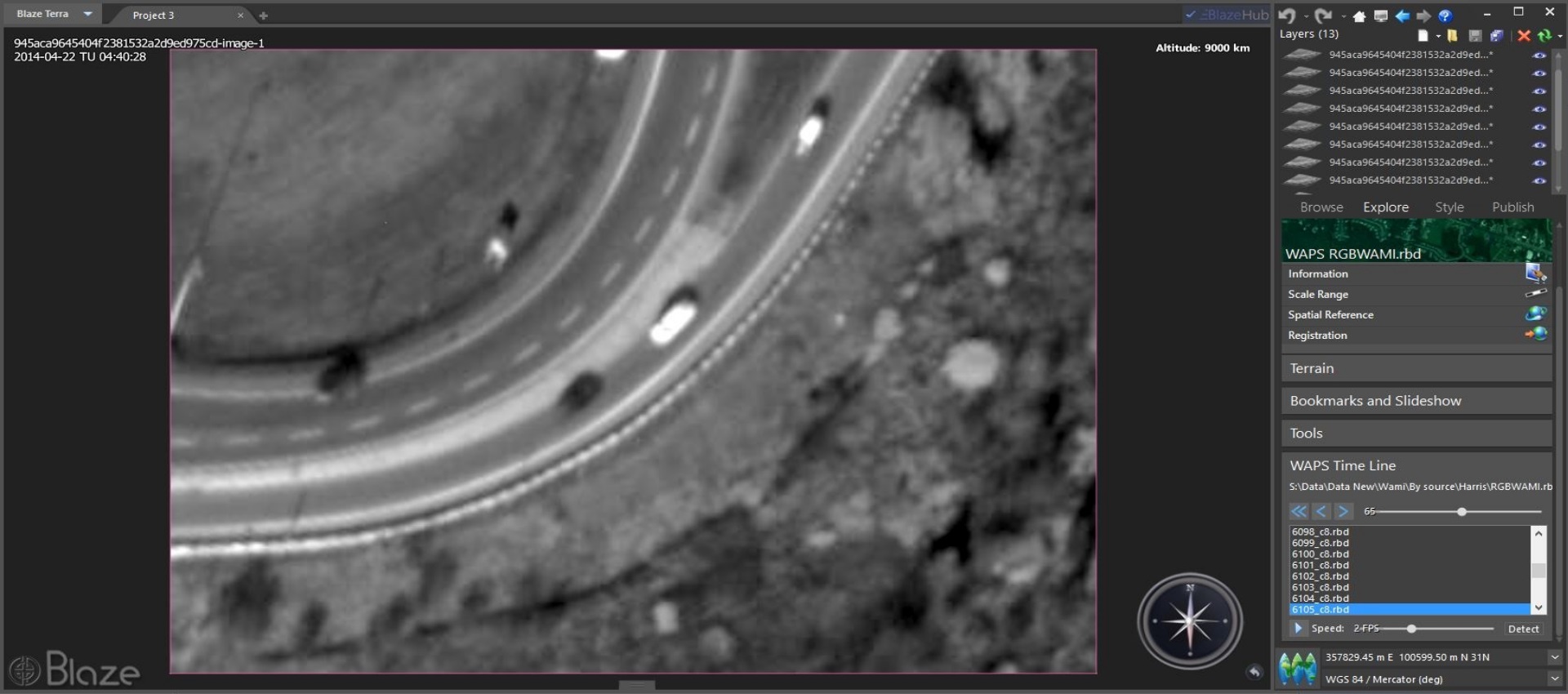
The WAMI* Extension enables the opening of WAMI datasets regardless of file size and to enjoy the comprehensive user experience Blaze Terra is known for. Present motion imagery data on top of Digital Elevation Models (DEM) or any other geospatial data, such as maps, orthophoto, 3D models or shape files. Utilize WAMI’s inherent motion imagery qualities by using Blaze Terra’s unique set of WAMI specific features, such as feature tracking and playback control. For example, review motion imagery at different speed levels, even frame-by-frame and in reverse playback.
* WAMI stands for Wide Area Motion Imagery and is an advanced sensor-based technology, delivering board stretches of video-like footage. WAMI has been gaining popularity since its adoption by the Open Geospatial Consortium (OCG).
Key Features
- Drape WAMI data on top of elevation, map or orthophoto.
- Editing tools: improve quality through sharpness or colors while working with the data
- Enjoy the full range of the Blaze Terra toolkit.
- Control playback speed.
- Track selected features.