Delivery Module Overview
Distribute information across the organization by channeling the data through a shared database and stream it to thousands of end-users.
Key Features
- View and process cataloged imagery, saved in a shared data source, web service, or DB in original quality and resolution.
- Stream geospatial data, such as electro-optical imagery, multispectral, as well as various further geographical data of over 100 different formats.
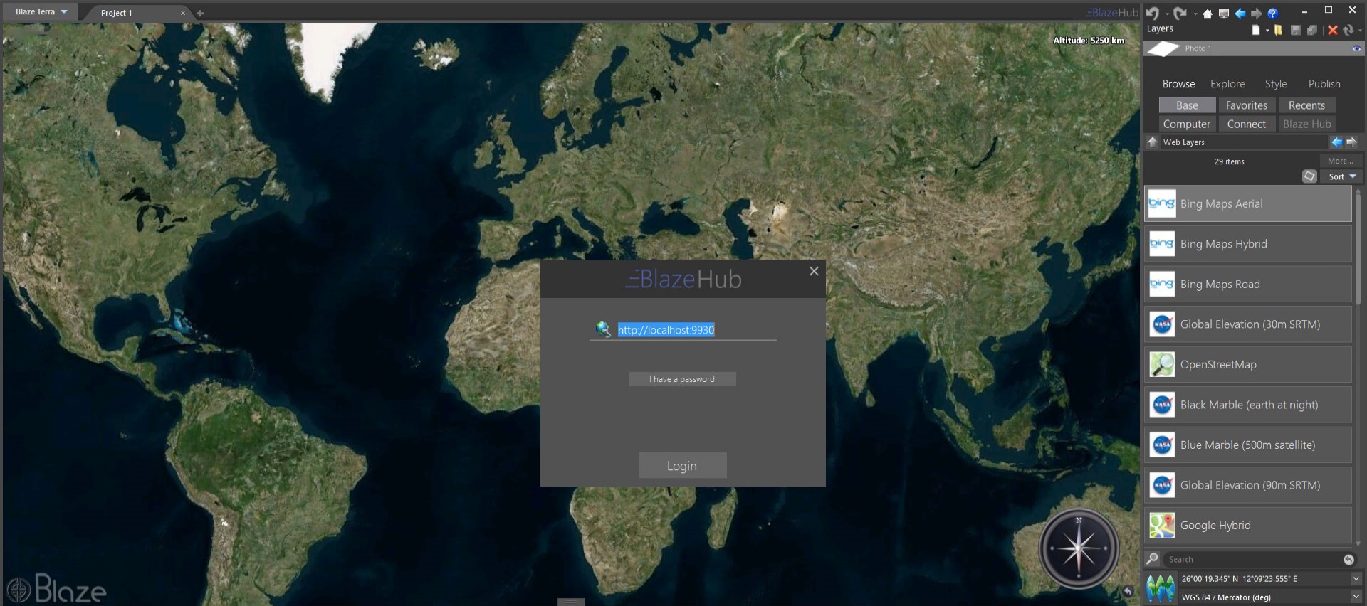
- Utilize OGC standards such as WMTS and TMS for the dissemination of the data.
- Use the GPU (optional) for an increased performance.
- Enjoy fast and efficient smart tile cache, generated on the fly.