Discovery Module Overview
Maintain an organization-wide up-to-date catalog of all geospatial layers including all available metadata of the given data-sets.
Key Features
- Crawl through file systems, as well as connect web-services, and external collections according to various scan modes and parameters to extract all available types of geospatial data.
- Maintain an up-to-date catalog of the entire metadata of all available geospatial layers.
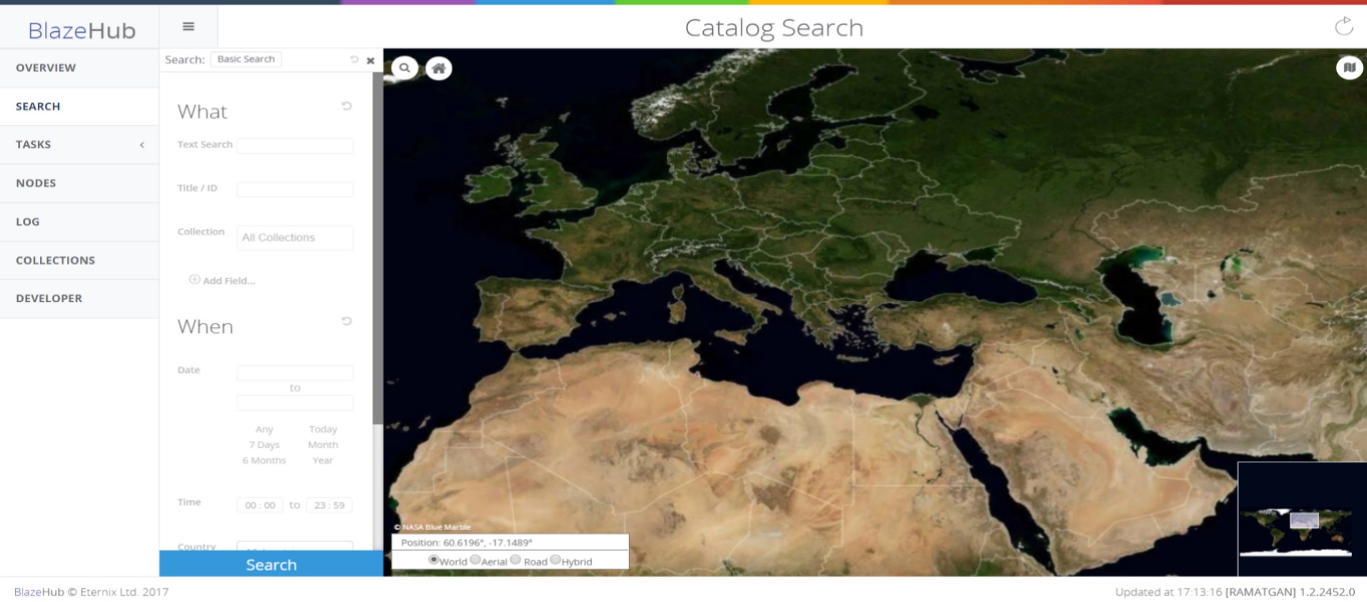
- Search data by geographic region, by date, or by metadata values.
- Access external data catalogs in order to search through internal and external files and web services simultaneously (Syndication extension).
- Search data according to geographic region, date, size or any metadata values.
- Catalog geolocations, thumbnails, full text content ISO meta-data as well as vendor specific metadata.