Blaze Terra
Blaze Terra
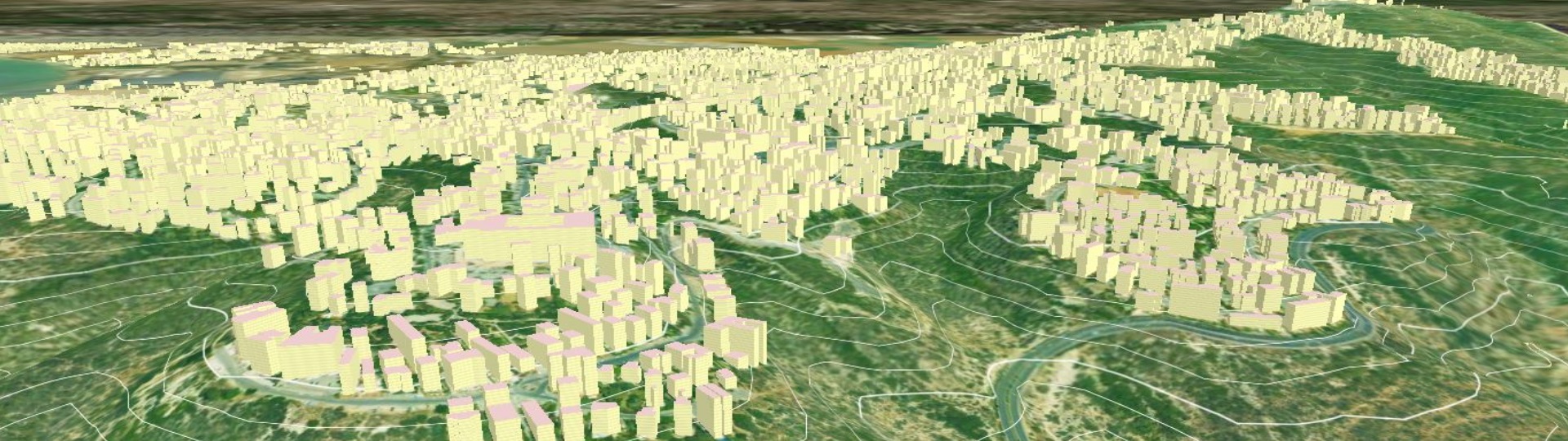
Blaze Terra is a comprehensive software package providing a rich set of geoprocessing capabilities for presenting, manipulating and analyzing GIS data in a 3D environment. Blaze Terra offers professionals working with heavy terrain files the tools to create, manipulate, and analyze 3D terrain scenes.

ON-THE-FLY TERRAIN ANALYSIS
Blaze Terra can form 3D scenes on-the-fly without preprocessing. With Blaze Terra users can drape any 2D data over a Digital Elevation Model (DEM) to create a real-time 3D visualization. Thanks to the on-the-fly terrain formation, Blaze Terra can accurately represent topographic features in 3D, without the need to convert or preprocess the given data. Blaze Terra can further fuse multiple elevation layers of different sources, resolutions, formats, projections, and datums in order to create an overview of the whole scene.
USABILITY & VERSATILITY
Blaze Terra’s intuitive user interface allows its users to learn about its features and capabilities in virtually no time. With a great emphasis on usability, quick learning, and maximal usage for all users is promoted. Thanks to the intuitive user interface, as well as Blaze Terra’s coherent user flow, little to no training is needed to kick-start new projects. While Blaze Terra offers a wide range of features and capabilities, including alteration, modification, and enhancement, its usage remains straightforward and instinctive.


Performance & Efficiency
Blaze Terra’s ability to open multiple layers in the same scene simultaneously as well as to open a virtually unlimited number of formats and data files of great volume, all add to the software’s’ exceptional performance. The wide-range of analysis tool can handle enormous files of any type and can be applied simply, seamlessly, on-the-fly, and without preprocessing. While Blaze Terra offers highly sophisticated tools, it also executes them in an exceptionally swift and efficient manner, enabling its users to maximize the use of their GIS data.
The Blaze Terra Extensions
In addition to Blaze Terra's core capabilities, users can expand the wide range of features and capabilities
through the addition of the following extensions.